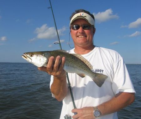
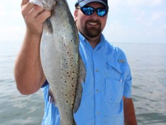
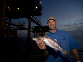
Ask Captain Paul
Northwest Islands
Dear Capt. Paul:
I know that the Northwest Islands out of Leeville is no longer visible above the water, but I was wondering if you have the GPS coordinates for them?[…]
Dear Capt. Paul:
I know that the Northwest Islands out of Leeville is no longer visible above the water, but I was wondering if you have the GPS coordinates for them?[…]
As most know, the owner of the Pickets — Apache Oil Corporation — were in May in the process of removing some of the rig platforms that are no longer producing These platforms are in the Ship Shoal Leased Area, Block 26 area in Caillou Bay. […]
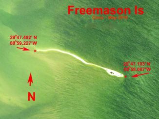
Dear Capt. Paul:
I’m trying to locate the coordinates for Freemason Island.[…]
Dear Capt. Paul:
I have a new camp in Cocodrie, and I’m learning the area. I was hoping to hit some of the shallower rigs for a few lemonfish and perhaps even some snapper.
Do you have the coordinates for the Mardi Gras and EnStar rigs that are supposed to be near the shoreline?[…]
Dear Capt. Paul:
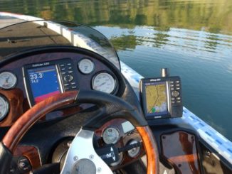
I have a Garmin 182c that is not reading the data card with topo map source on it. I have two friends who have the same unit, and their units are reading my data card.[…]
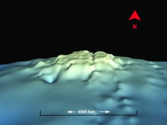
If you are interested in line-breaking tuna and other large species in the Gulf of Mexico, then you should at least try the Midnight Lump.
[…]
Dear Capt. Paul:
I recently bought a used Garmin GPSMAP handheld to use in my kayak so that I can find my way into and out of the marches, as I fly fish.[…]
Dear Capt. Paul:
I hunt public property, and use my Garmin Oregon 450t constantly. I have the map provided from the management area pamphlet overlayed on my unit, but only main trails are shown on it.[…]
Dear Capt. Paul,
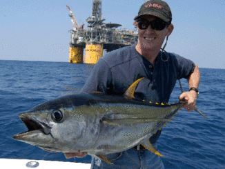
Can you give me the GPS locations of the Blind Faith and Thunder Hawk rigs and any other coordinates you may have for areas to fish yellows out there?
TV[…]
Dear Capt. Paul:
Do you have the locations for the headquarters and the camping-mooring sites in the Pass-a-Loutre WMA?
B.V.[…]
Dear Capt. Paul:
Do you have the coordinates for Bird Island in Barataria Bay near Grand Isle?[…]
Dear Capt. Paul:
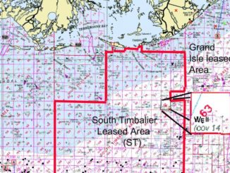
I’m trying to locate a small satellite platform I used to enjoy fishing located in ST63 block. It shows up on my GPS as an icon that was already on my map card; therefore, I never saved it as a waypoint.[…]
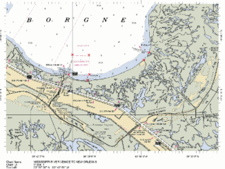
Dear Capt. Paul:
What are the coordinates for Jenke’s Reef on the south end of Lake Borgne?[…]
Dear Capt. Paul:
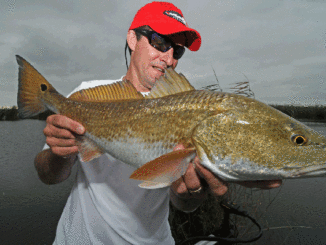
I am from the New Orleans area and am looking to go to the sulfur mines. Been there before but do not remember how to get there. Can you give me some directions and maybe the address? Thank you so much for helping. I am looking forward to catching some specks and reds. I have not been fishing in years and wanted to try to get back in it.[…]
Dear Capt. Paul:
I found your article on GPS datum settings very interesting. Differences between the NAD 27,83 and WGS 84 were very interesting. Thank you[…]
Dear Capt. Paul:
My Garmin GPSMAP 60csx has some downloaded maps from Garmin MapSource TOPO 1:100,000, but these maps aren’t very good for marsh fishing. My Blackberry cell phone gives me Google Earth, but it won’t stand up to rain/pounding and it doesn’t work where there is no cell phone service. Is there a way to get Google Earth maps on my map60csx?[…]